


m. +1(780) 445-4842 | e. business@KLRaerial.services
KLR Aerial Services understands that safe, aerial data collection can bring massive value to multiple sectors. With our unmanned aerial vehicles (UAV/ Drone), extensive industrial training, and combined with revolutionary software; KLR scans our customers assets and transforms them into georeferenced 3D computer models/drawings. We utilize our background in industrial project delivery, to assist our customers into realizing that drones can bring low cost, low risk, high benefit opportunities to their organization. We believe that drone technology, can be used effectively to reduce costs and ultimately lead to precise personal/business decisions, now and more importantly into the future.
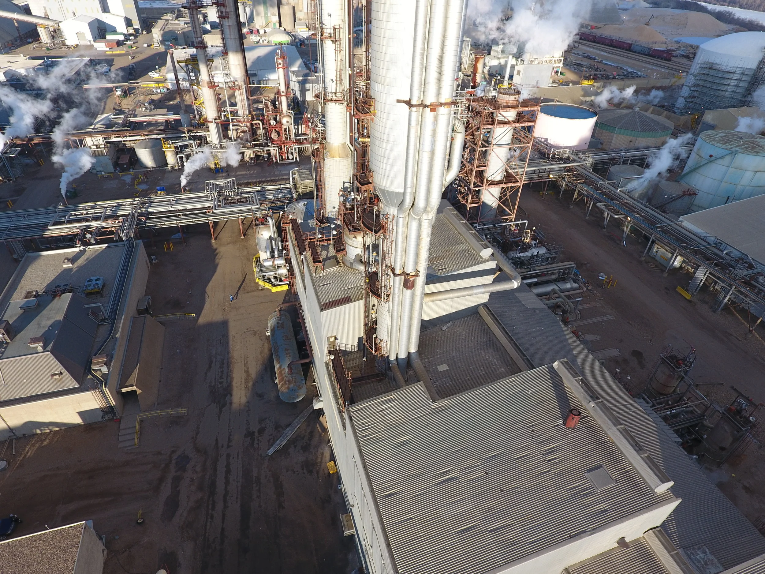
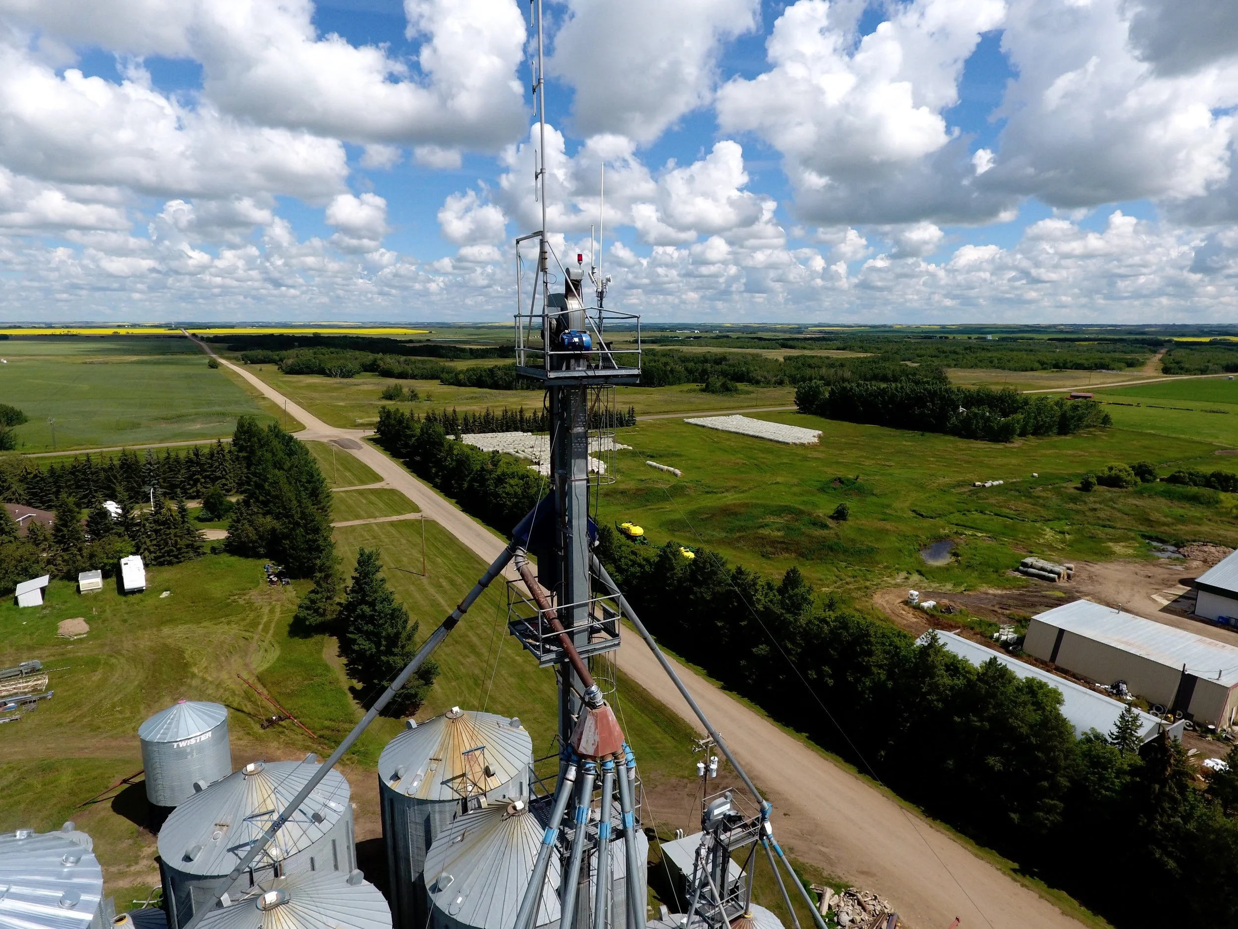
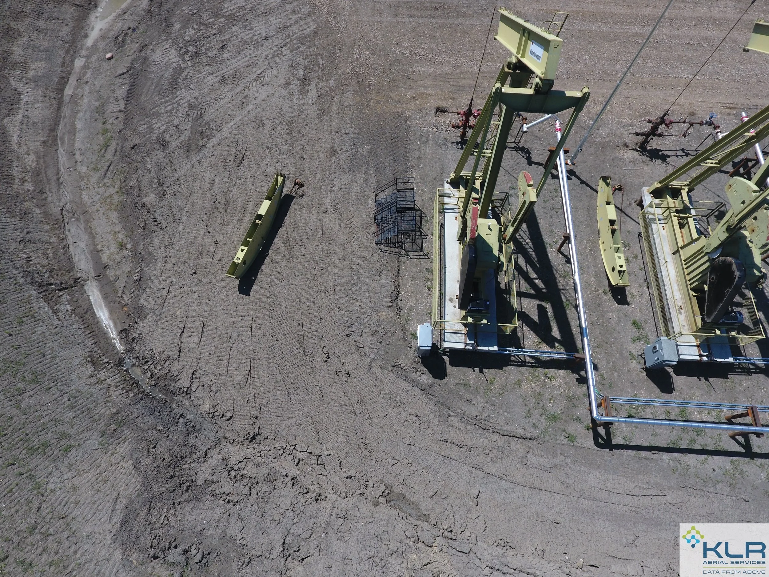
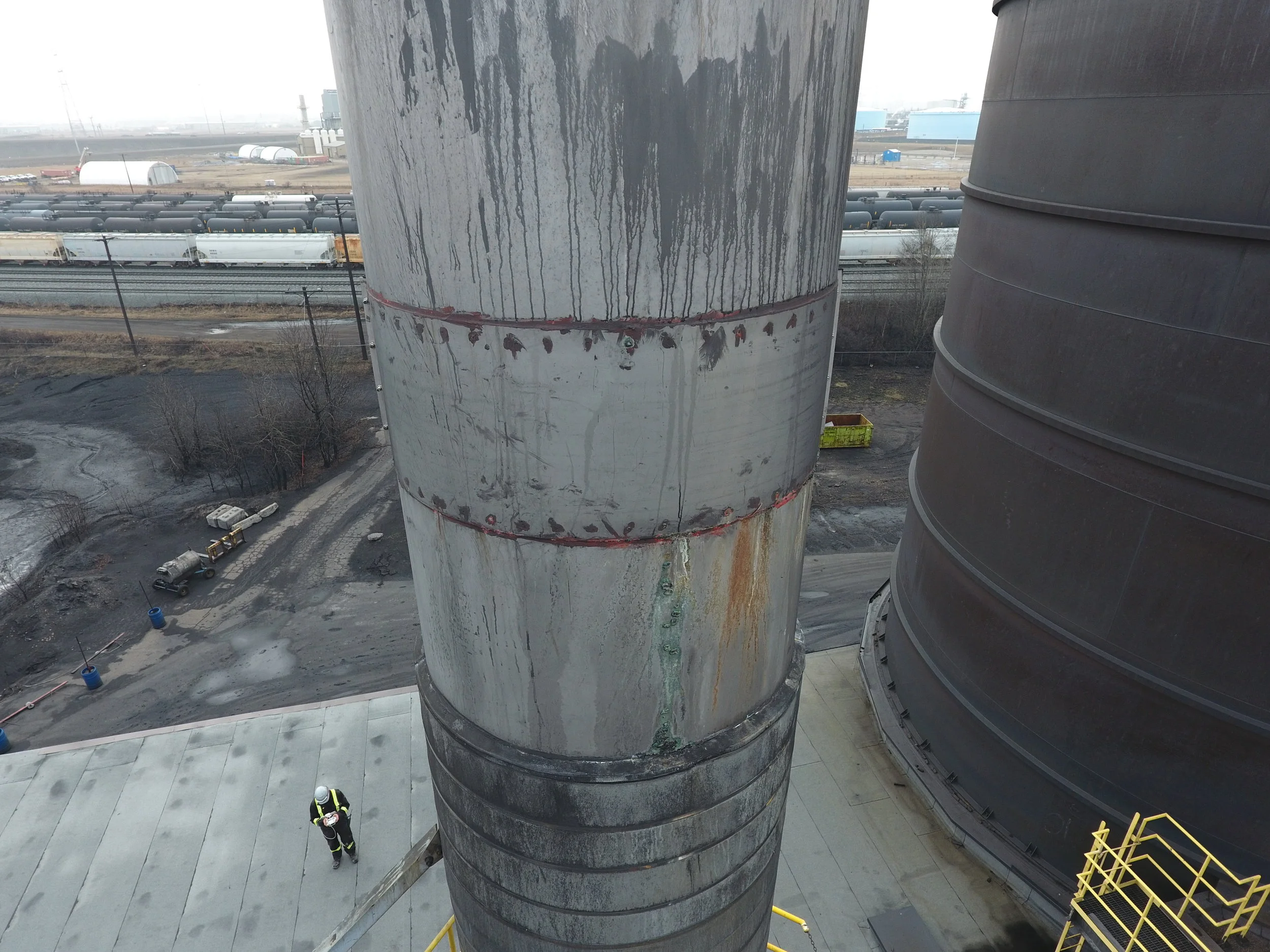
Our drones utilize a variety of specialty cameras, to collect data such as civil cut/fill volumes, site topography, infrared/thermal imaging, insurance documentation, asset inspections, real estate scans, and advertising/ promotional content.
No matter the project, we deliver data from above...
KLR's process starts with high definition photography.


Our Process
1. Listen
We would love to start a conversation with you. Tell us about yourself, your site, your asset, your challenges or your ideas. We'll reply to you with any clarifications, possible opportunities, and we will give you a sense as to next steps.
2. Review
Based on our conversations, we will send you a custom quote with a fit-for-purpose cost structure, plus an idea on project execution and deliverable schedules. Review the quote and let us know if you have questions or how we can help further.
3. Align
If you're ready to proceed, KLR will begin our formal relationship with an alignment process. This step will include you and all relevant stakeholders. We will address Canadian UAV regulations, project & site risks, deliverable types, and information that we might need from you; such as authorizations, site orientations, or communication protocols.
4. PLan
Post alignment, KLR will collaboratively plan the project with you and will outline all details prior to flight. We will create a risk register and will review the execution phase with you. We will transparently store & share our checklists and procedures, giving you comfort knowing that any liability has been mitigated. We will submit all Transport Canada regulatory requirements and will then prepare for flight.
5. Execute
We will execute our flight with a vision of zero harm to all assets, humans, the environment and any additional items identified in the risk process. We encourage involvement during the scan and can live-stream the footage to a device of your choice or via YouTube. KLR also has a robust working alone policy that will be followed for such circumstances.
6. Deliver
Post flight production begins immediately after the flight. We are able to upload data direct to our processing systems and can in some cases deliver on the same day. We utilize cloud storage solutions for all deliverables but can also ship a hard-drive to you direct.
7. Learn
We never want to stop learning and we stay involved with you during our lessons learnt process. This closeout procedure ensures that lessons are learnt and that future projects incorporate these lessons. Furthermore, opportunities always arise during projects; to capture these is important to KLR.
“Thanks... we were able to successfully book a production bottoming within our time constraints & with a level of accuracy that everyone was happy with!”

Scan or "as-build" large sites, allowing for project & construction planning, engineering/design, or simply to amalgamate existing 3D models into a baseline scan.

Our 3D Pointcloud models give you the ability to measure volumes to extremely accurate precision.

Deliverables can also include custom made, high resolution 3D contour files. In .DXF format, these are easily imported into common CAD systems.

3D Triangle Mesh files provides further detail. These files can be import into review & CAD softwares and are utilized in multiple sectors.

Google Earth files give our customers access to higher level detail. In addition, all KLR deliverables are yours, use them as you see fit.

Your 3D Pointcloud files can be import direct to may CAD program, retail colour pixels, and need no additional conversion software.

The Pointcloud models allow users to measure their assets, thus allowing for fast reference and to confirm design or planning with confidence.
Some of Our Valued Customers


